web stone

Demanding
Type: Hiking
Length: 6,3 km
Duration: 3 hours and 30 minutes
Season: March-October
From Aurlandsvangen the hike starts on asphalt up towards Vinjane along Vinjavegen, and when Vinjavegen changes from asphalt to gravel road, after about 50 meters you should turn off through a small gate on the upper side of the road. The trail itself starts there. If you start at the parking lot at Aurland from the stadium, you can walk along Bakkane Road until you turn onto the before mentioned Vinjavegen and follow the same route from there.
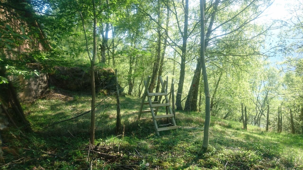
The path is marked with red markers, and has temporary signs that show the direction. Fence crossings have been set up where you must cross fences to avoid using gates. If you are walking with a dog, these can be a challenge if you are unable to lift the dog over the fence. In the summer season there are grazing animals on parts of the route, remember to keep dogs on a leash.
The trail starts with a steep climb and initially goes through a rock face that can be somewhat challenging for some. The trail winds upwards through the birch forest and has some steep sections, and can be slippery to walk on when there is a lot of rain.
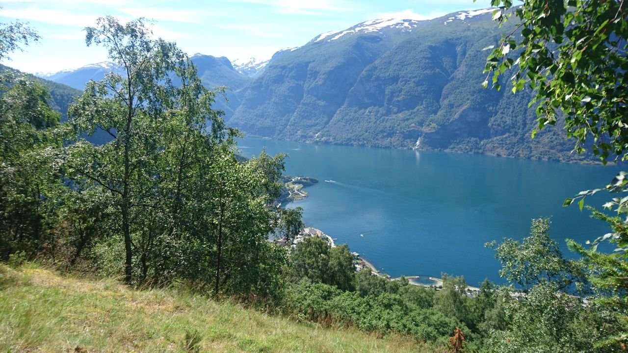
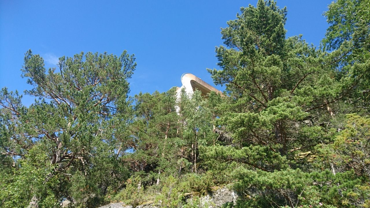
After about 1.5 km you will pass a Day Tripper, which is located about 50 meters from the trail and is easily visible. This is a popular hiking destination and offers beautiful views. A perfect place to take a short break before continuing.
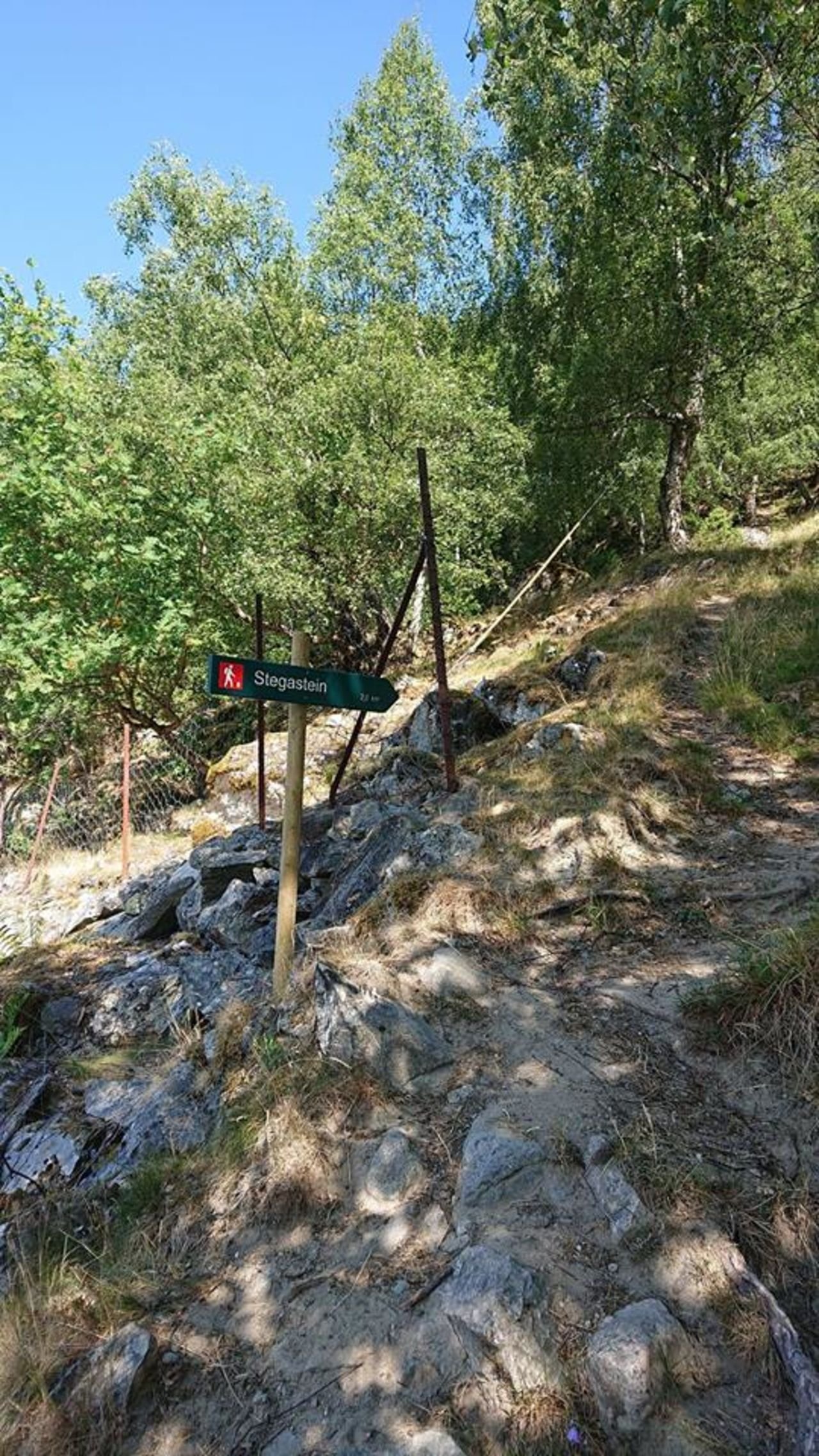
About halfway the trail crosses a tractor road, and there the trail can be a little tricky to find in the forest on the uphill side. It is both signposted and marked with red markers, but if you overlook the first red marker when you leave the tractor road it is easy to miss the trail. ( Turn right on the tractor road as indicated by the arrow sign. Turn left after about 15 m, keep left up into the forest and look for sheep marks) Follow the markings further along a rock wall about 100 meters and you will come to a new arrow sign, where the trail continues on an old bridleway.
The road is used by farmers in aurland to get up to the mountain farms, but also by the farmers on the highlands to get down to the village. The road is partly paved in curves and has a smooth and nice slope until it passes the Stegastein viewpoint. Before you get all the way up to Stegastein you will be able to glimpse the destination through the forest above you.
Have a good trip!